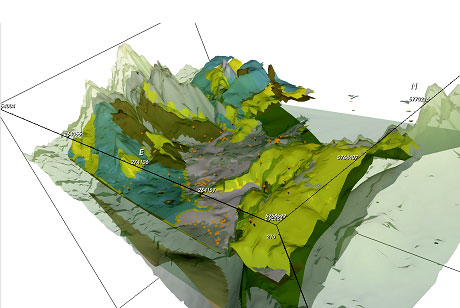
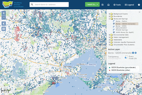
map    

Map portal

An interoperative web-GIS that federates groundwater data from disparate sources to assist groundwater researchers and help water managers make the correct choices for the sustainable use of a precious resource.
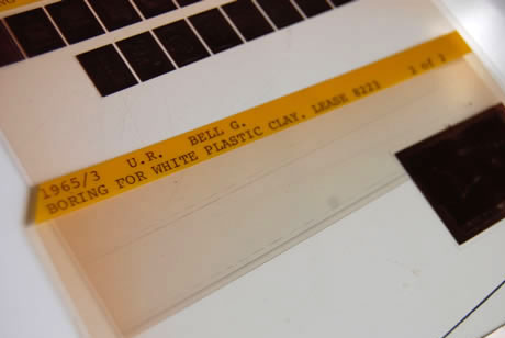
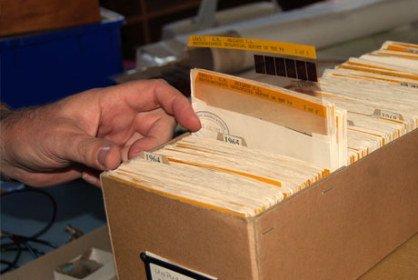
e library    

E-Library

Search and access over 1,589 groundwater and other related resources: reports, fact sheets, journal articles, spatial layers and more.

ck    

Data Catalogue

Open access to the datasets featured in VVG. You can use it however you like to build apps and tools, for research or to gain insights and understanding.

3d visualisation    

3D Scene

The 3D scene allows you to see areas from the VVG portal in 3D. This includes aquifer layers, WMIS bores and surface elevation. Access to 3D Scene is via the VVG portal. The option will be greyed out until you are zoomed in to a minimum of 1:250k

research vvg    

Research

Making the invisible visible: the impact of federating groundwater data in Victoria, Australia J. Hydroinformatics (March 2016)

user guide    

User guide

Quick guide to get started. These instructions are a rough guide on how to use the map. We also have a comprehensive set of FAQs.