Region: South eastern PPWP CMA region
Type areas: Loch, Poowong
Brief description: The lithic sandstone and mudstone rocks that make up the Strzelecki Ranges were formed from sediments deposited in a rift valley between Australia and Antarctica during the Cretaceous period. The continued uplift and erosion of the Strzelecki Ranges since the Miocene has created deeply dissected landscapes with relatively thin soils.
Groundwater flows through the fractured rocks in intermediate and local flow systems, recharged by the high rainfall. The groundwater discharges into the streams of the Strzelecki Ranges from local and intermediate flow systems.
.jpg)
Problem statement: Current knowledge suggests that this GFS does not contribute to the salinity problem.
Geology: Strzelecki Group (Kls). Cretaceous fluvial lithic sandstones, siltstones, with minor conglomerates and coal.
Topography: Deeply to moderately dissected fault block, ridges and spurs, steep sided valleys.
Land Systems:
South Victorian Uplands
3.4 Dissected Fault Block – Otway Range
South Victorian Coastal Plains
8.4 Fans and Terraces – Westernport
Regolith: Skeletal to gradational soils over moderately weathered sedimentary rocks
Annual rainfall: 750 mm to 1100 mm
Dominant mid-1800s vegetation type: Predominantly Forest and Woodland with minor Rushland
Current dominant land uses: Grazing, dairy, forest, rural residential developments.
Mapping method: Outcrop geology
Aquifer type (porosity): Fractured rock (secondary porosity)
Aquifer type (conditions): Unconfined to semi-confined
Hydraulic Conductivity (lateral permeability): Largely unknown. Estimated range from 10-4 m/d to 101 m/d.
Aquifer Transmissivity: Generally less than 1000 m2/d.
Aquifer Storativity: Estimated range from 0.02 to 0.1.
Hydraulic gradient: Generally moderate but can be locally very steep in valleys.
Flow length: Estimated <2 km for local systems up to 15 km for intermediate systems.
Catchment size: Estimated to be <10000 Ha.
Recharge estimate: Unknown. Possibly 100 mm/yr or more.
Temporal distribution of recharge: Seasonal (winter and spring), with more recharge in wetter years.
Spatial distribution of recharge: General catchment wide, with less on steeper slopes.
Aquifer uses: Minor stock and domestic use.
Groundwater salinity (TDS): Fresh. Generally less than 1500mg/L.
Salt store: Low
Salinity occurrence: None known.
Soil Salinity Rating: Low (Nil).
Salt export: None known.
Salt impacts: None known.
Soil salinity hazard: Low
Water salinity hazard: Low
Assets at risk: None known
Responsiveness to land management: Unknown, and not applicable to salinity management.
There are no known salinity issues relating to this GFS to be managed.
.jpg)
Regolith profile of the Strzelecki Group rocks, South Gippsland Highway, Loch
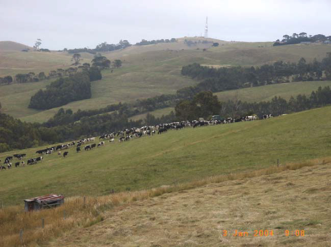
Strzelecki landscape, near Krowera.