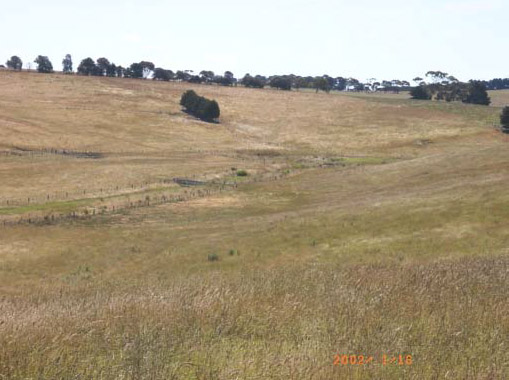
S1 and S2 salinity along a tributary of Waurn Ponds Creek, Devon Road, Barrabool Hills.
Region: Southern CCMA (Southern Victoria Uplands)
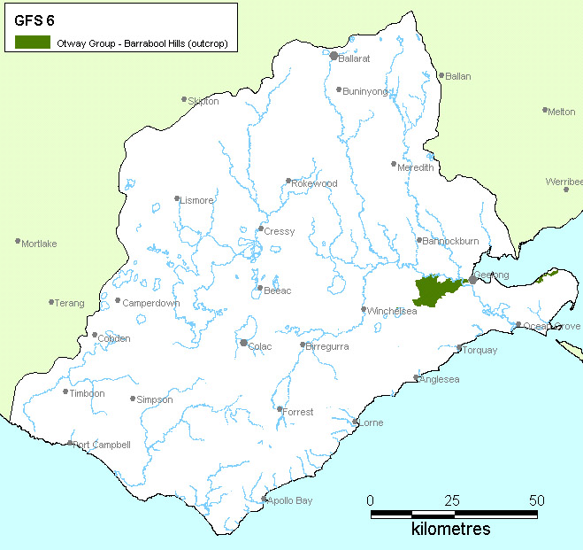
Type areas: Barrabool Hills, Bellarine Peninsula (Clifton Springs)
Description: The lithic sandstone and mudstone rocks of the Cretaceous age Otway Group occur in outcrop over the majority of the Barrabool Hills and locally on the Bellarine Peninsula. They have been deeply weathered and are covered by residual clay soils. Groundwater flows through the fractured rocks and regolith in local flow systems. Salinity occurs along drainage lines and at the break of slope.
Though well documented in terms of discharge mapping, the actual salinity hazards posed within this GFS are poorly understood. However, given that the urban fringe of the City of Greater Geelong encroaches upon the eastern foot slopes of the Barrabool Hills and the landscapes of this GFS drain into the Barwon River, the salinity risk of this GFS requires urgent research.
Geology: Otway Group (Kl).
Topography: Rounded hills.
Land Systems:
3.0 Southern Uplands.
3.2 Dissected uplands
3.2.2 Dissected ranges
Regolith: Clay soils over deeply weathered sandstones and mudstones
Annual rainfall: 500 to 700 mm
Dominant mid-1800s vegetation type: Forest
Current dominant land uses: Grazing, cropping, conservation, urban.
Mapping method: Outcrop and estimated sub-crop distribution.
Aquifer type (porosity): Fractured rock (secondary porosity); regolith (primary porosity)
Aquifer type (conditions): Unconfined to semi-confined.
Hydraulic Conductivity (lateral permeability): Largely unknown. Estimated range from 10-5 m/d to 1 m/d.
Aquifer Transmissivity: Generally less than 50 m2/d.
Aquifer Storativity: Estimated range from 0.01 to 0.03.
Hydraulic gradient: Generally moderate to steep. Locally very steep in valleys.
Flow length: Estimated up to 5 kilometres.
Catchment size: Estimated to be <1000 Ha.
Recharge estimate: Unknown.
Temporal distribution of recharge: Seasonal (winter and spring), with more recharge in wetter years.
Spatial distribution of recharge: Thought to be higher on rounded crests.
Aquifer uses: Some stock and domestic use.
Groundwater salinity: Ranges from 2000 mg/l to 8000 mg/l.
Salt store: High.
Salinity occurrence: Drainage lines and break of slope.
Soil Salinity Rating: S1, S2
Salt export: Mainly baseflow to streams.
Salt impacts: Unknown. Possible off-site (baseflow).
Soil salinity hazard: Low.
Water salinity hazard: Unknown, probably Low.
Major assets at risk: Barwon River, conservation wetlands.
Responsiveness to land management: Unknown
The local groundwater flow systems provide the ability to achieve some level of salinity control in this landscape, though the response times will likely be tempered by the effect of relatively deep weathered profiles.
The value of perennial pastures in reducing recharge for salinity control is generally likely to be marginal given that the rainfall approaches 700 mm, though some areas where there is a rain shadow aspect (i.e. eastern slopes) provide better opportunities. In areas where soil conditions are suitable, lucerne offers considerable promise in its own right, but also as a rotation within a cropping system. Block plantings of trees offer a management opportunity if the economics allow this to be incorporated into a farming system on a sufficiently broad scale.
Engineering solutions are not amenable as a broadscale salinity control opportunity, but may be considered within the context of protecting a discrete asset.
| Groundwater Flow System | Options | Treatments | Comments |
|---|---|---|---|
|
Local flow systems in the Otway Group rocks (Barrabool Hills) |
Biological Management of recharge | Perennial pastures | Low to moderate – Suitable climatically, but uncertain responsiveness |
| Crop management | Low to moderate – Inter-cropping with lucerne??? | ||
| Trees/woody vegetation | Low to moderate – Difficult to see where they would provide a benefit this landscape | ||
|
Engineering intervention | Surface drainage | Low – Difficult to see where drainage might reduce recharge or waterlogging on saline lands | |
| Groundwater pumping | Low to moderate – May be an option where high value (perhaps urban) assets are to be protected | ||
|
Productive uses of saline land and water | Salt tolerant pastures | Moderate – Salt tolerant grasses with existing technologies | |
| Halophytic vegetation | Low- Poorly suited to the climate | ||
| Saline aquaculture | Low to moderate – Issues of groundwater extraction and salt and nutrient management | ||
| Salt harvesting | Low – Groundwater salinity too low | ||
| Others | See OPUS database (NDSP) |